Mission Drishti: India's Revolutionary OptoSAR Satellite
- Chavi Jain
- 3 days ago
- 2 min read

On May 3, 2026, India achieved a major milestone in space technology. A Bengaluru-based startup called GalaxEye launched Mission Drishti, which is the world's first OptoSAR satellite. But what exactly is this development? Let’s find out!
What Is the OptoSAR Satellite?
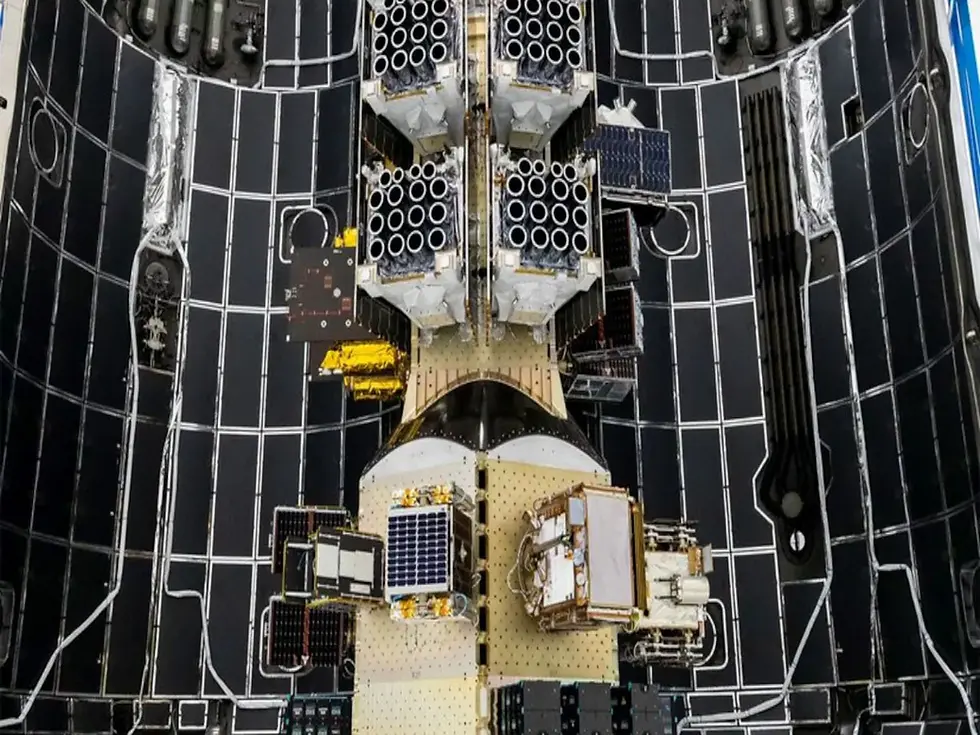
Mission Drishti is India's largest privately built Earth observation satellite, weighing 190 kilograms. It was launched aboard SpaceX's Falcon 9 rocket from California. It is now orbiting Earth in a sun-synchronous Low Earth Orbit, at an altitude of roughly 500-600 kilometers above the planet's surface.
What makes this satellite special is that it's the first in the world to combine two completely different imaging technologies on a single platform: optical imaging (like a high-resolution camera) and Synthetic Aperture Radar (SAR). This combination, called OptoSAR, allows the satellite to capture images of Earth regardless of weather conditions, cloud cover, or time of day.
What Is OptoSAR Technology and How Does It Work?
OptoSAR Technology is a combination of optical imaging and Synthetic Aperture Radar (SAR), which work differently.
Optical Imaging works like a regular camera. It captures sunlight reflected off Earth's surface to create clear, detailed images. You can see roads, buildings, forests, and other features just as you would with your eyes. However, optical imaging has major limitations: it needs sunlight, so it can't work at night or through clouds, smoke, or other weather conditions.
Synthetic Aperture Radar (SAR) works completely differently. Instead of capturing reflected sunlight, SAR sends out radio waves that bounce off the Earth's surface and return to the satellite. Because radio waves can penetrate clouds, rain, and darkness, SAR works in all weather conditions and at any time of day or night. However, unlike Optical Imaging, these pictures are hard to interpret.
OptoSAR combines both systems on one satellite. Mission Drishti has a 7-band multispectral optical imager and a high-resolution SAR sensor mounted together. The breakthrough is that both sensors point at the same location at the same time. When the satellite passes over an area, it captures both an optical image and a SAR image of that spot simultaneously.
Why Is This Significant?
Before Mission Drishti, if you needed comprehensive Earth observation data, you had to combine images from multiple satellites. An optical satellite might photograph a location during clear weather on one day, while a SAR satellite passes over the same area during a storm on another. The images are taken at different times, from different angles, and often show different conditions on the ground. Aligning and merging them is a tedious task.
OptoSAR changes this completely. By capturing both types of data in a single pass, Mission Drishti provides a complete picture immediately. You get the visual clarity of optical imaging combined with the all-weather capability of radar. This fusion of data allows for much more accurate analysis and faster decision-making.


Comments